Archaeological Excavations
Previous Excavations
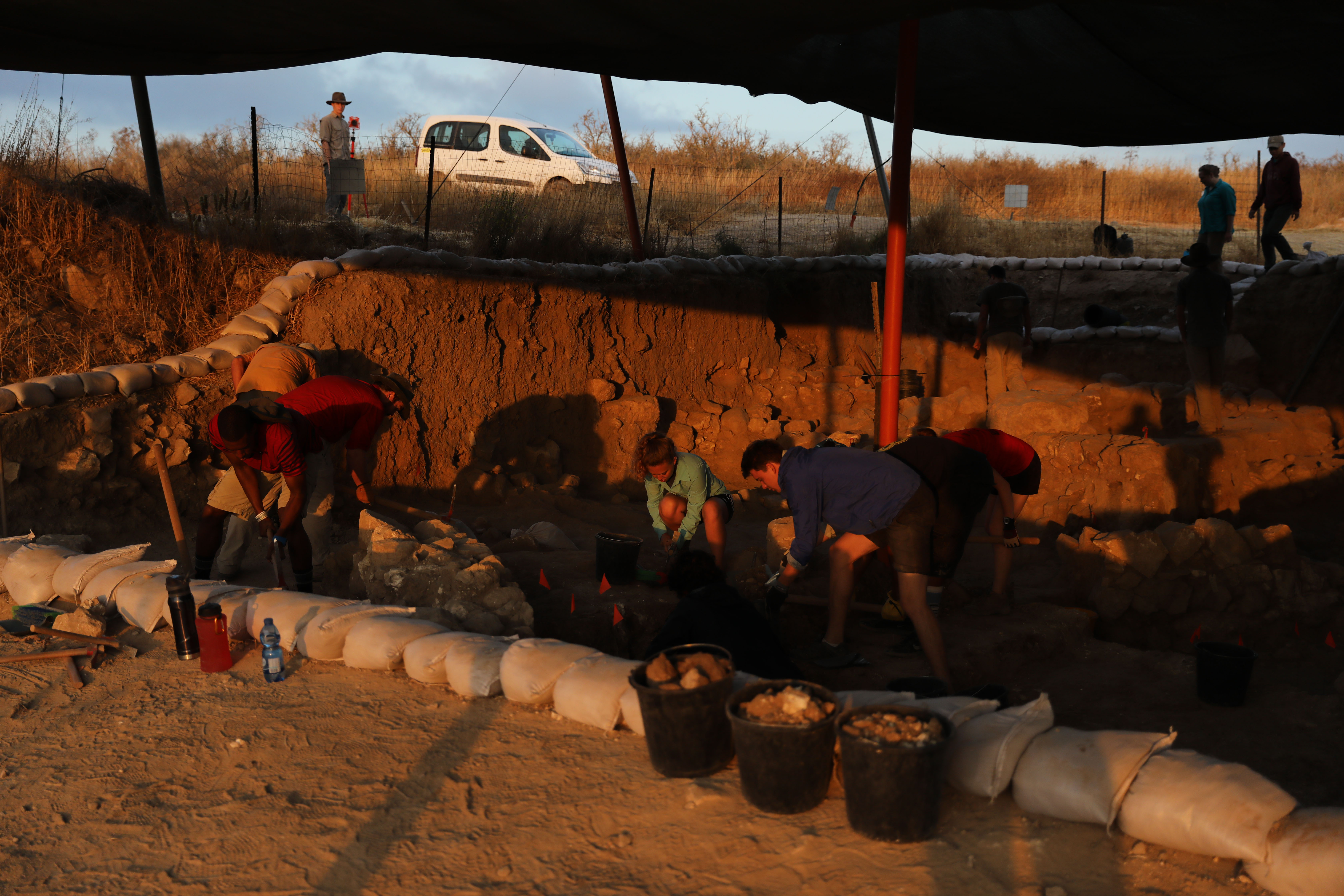
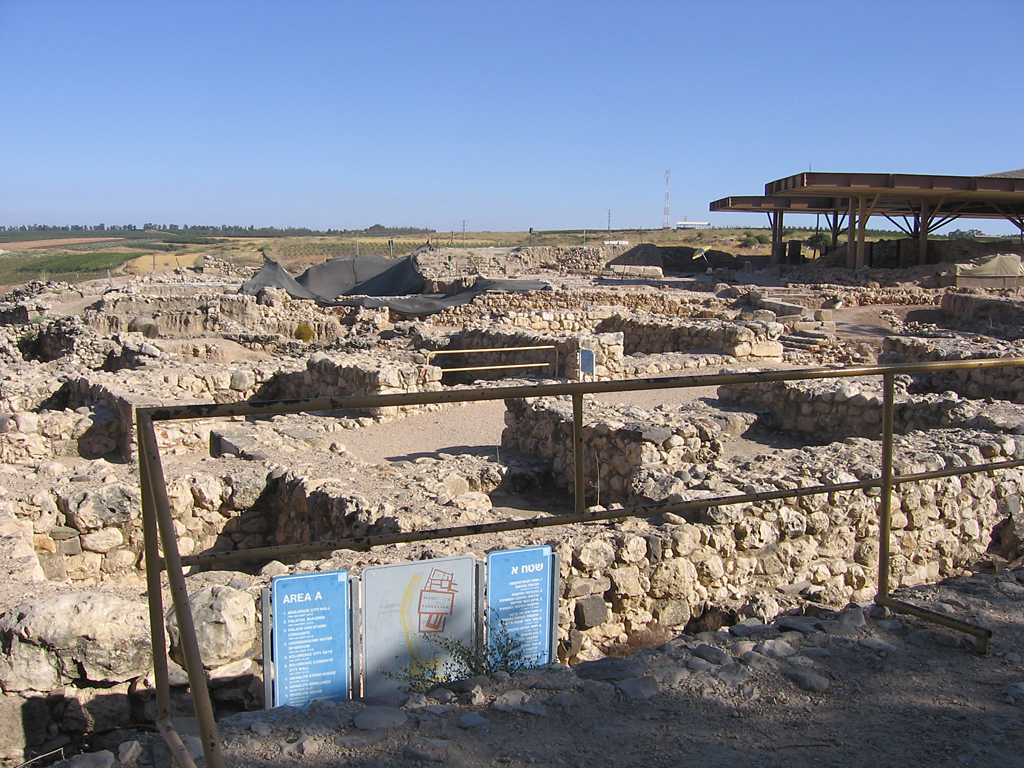
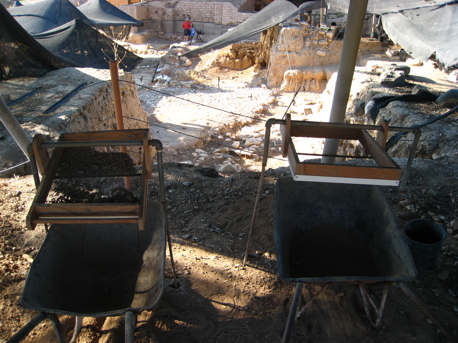
Lachish Israel 2013-2017


Khirbet Shuweikah (Socoh) Israel
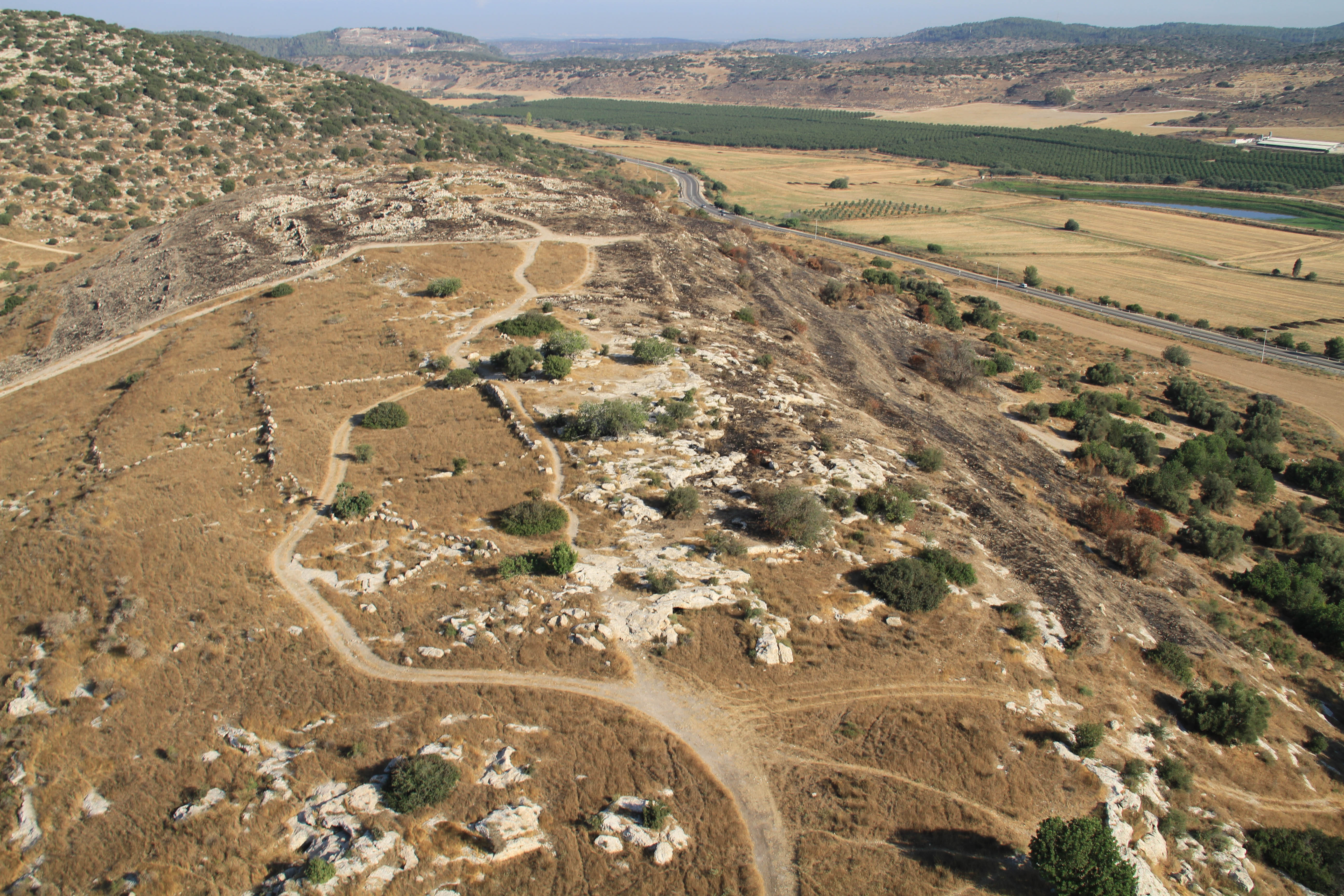


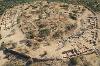
Khirebet Qeiyafa Israel 2009-2011


Hazor Israel 2004-2007


Idalion Cyprus June 18 - August 10, 2003


PREVIOUS EXCAVATIONS
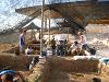
Lachish (Israel) June 19 - July 20, 2017
 1")
Lachish (Israel) June 19 - July 11, 2016

Lachish (Israel) June 21 - July 31, 2015

Lachish (Israel) June 22 - July 14, 2014

Lachish (Israel) July 18 - July 25, 2013

Khirbet Qeiyafa (Israel) June 8 - July 19, 2011

Khirbet Shuweikah (Israel) October 21 - October 22, 2010

Khirbet Qeiyafa (Israel) June 3 - July 27, 2010

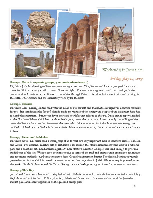
Khirbet Qeiyafa (Israel) June 24 - July 19, 2009

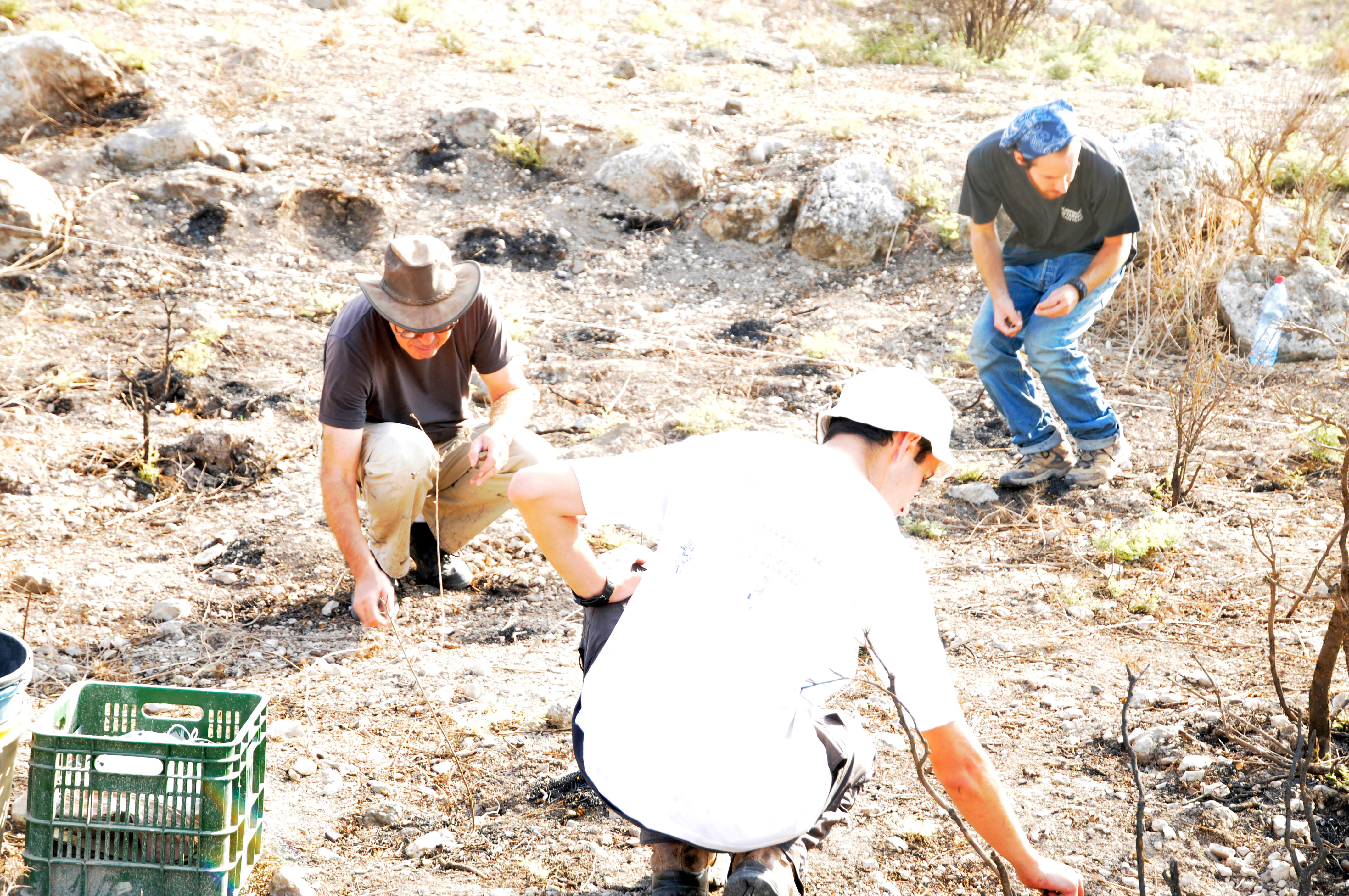
RESULTS FROM THE 2009 SEASON
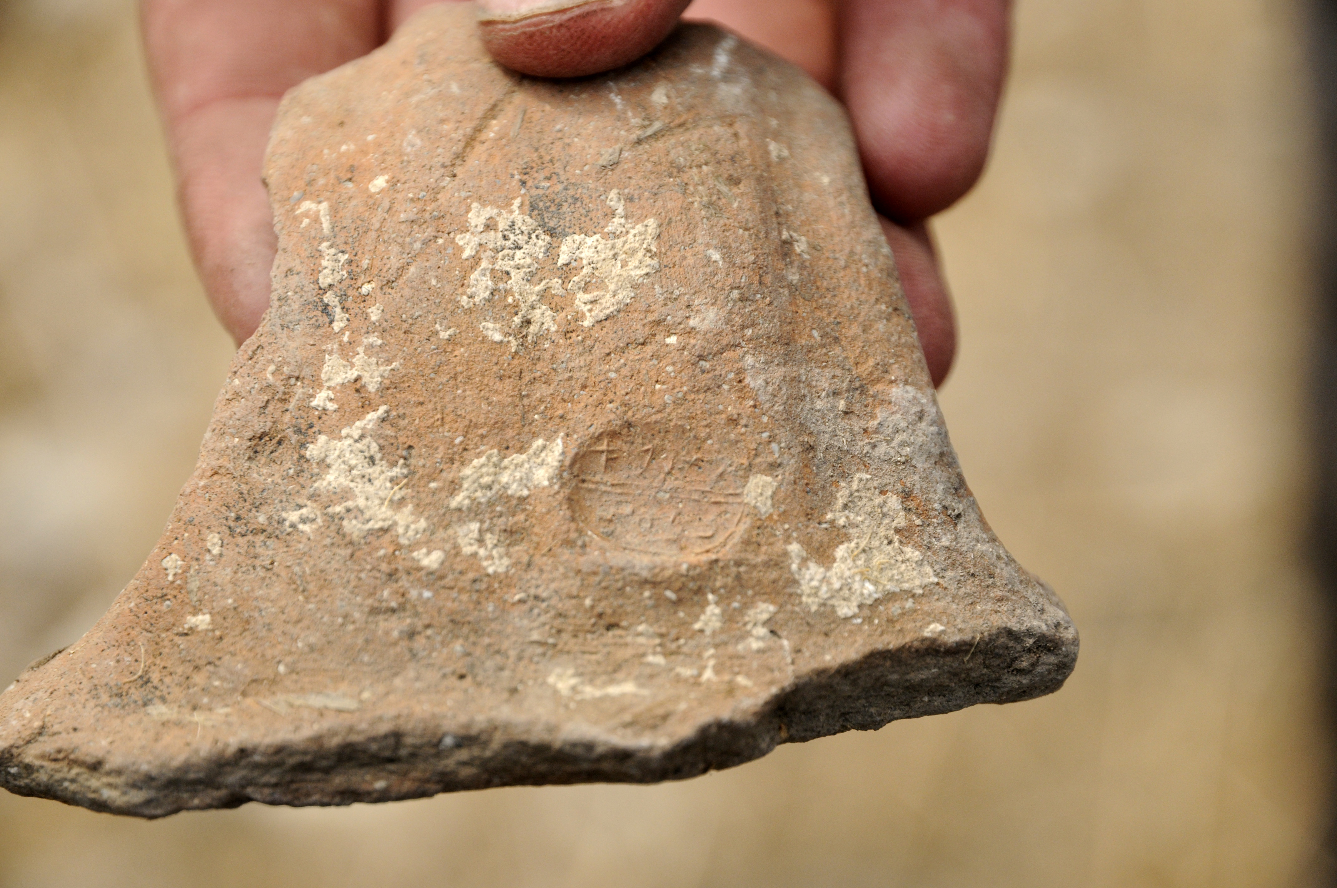
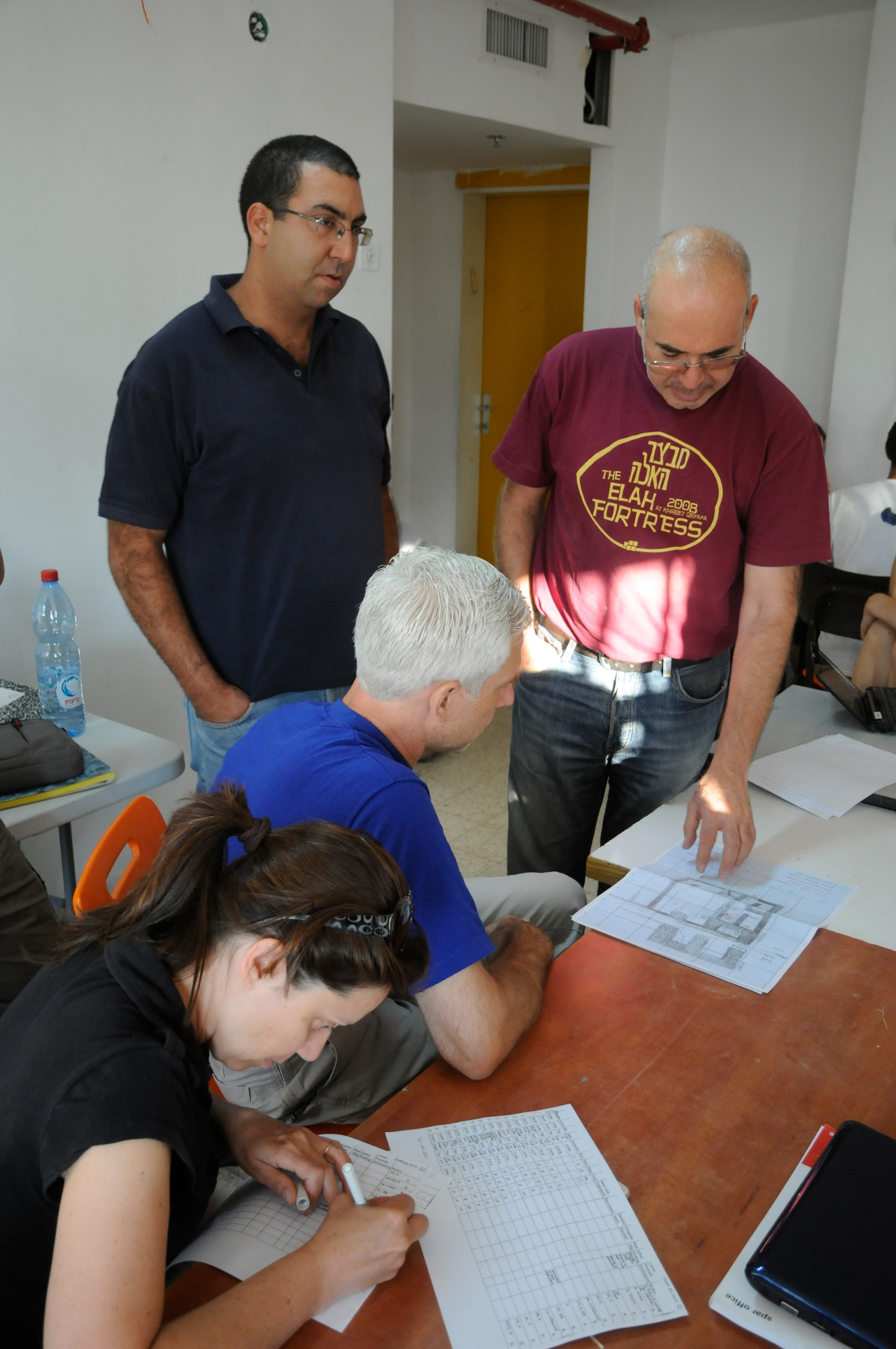
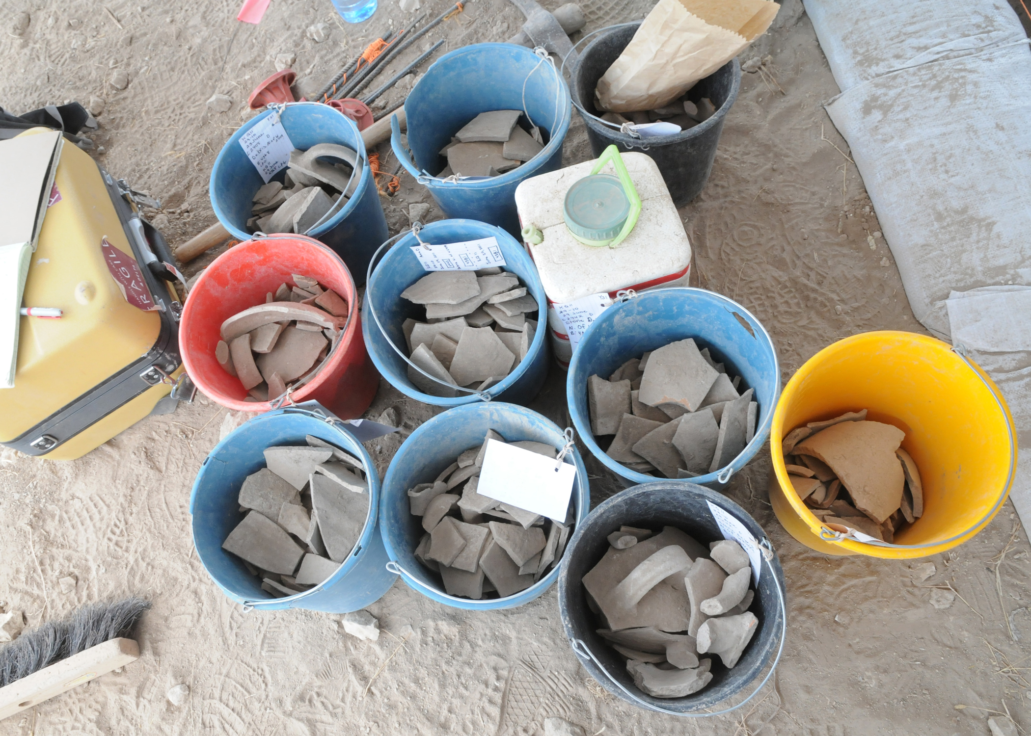
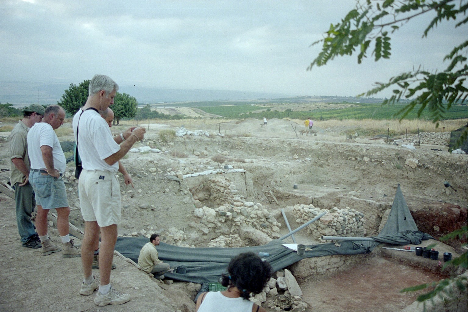
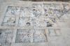
Southern Adventist University excavated Area D, where Hellenistic fills and floors associated with a large wall produced various finds, including bronze and silver coins from the period. For the first time a silver tetradrachm of Alexander the Great was found by the excavation team, providing an absolute date for the Hellenistic floor. Below this floor, inside the casemate walls, earlier Iron age IIA floors, from the time of David, were discovered. On the surface were almost-complete restorable vessels, including a lamp, chalice, and large storage jars with thumbprint impressions. This was the first time that restorable vessels were found inside the casemate rooms. The bottom course of the casemate walls rested on bedrock, indicating without a doubt that the massive wall system associated with the western gate does in fact date to the early 10th century B.C, despite recent opposing suggestions by some scholars.
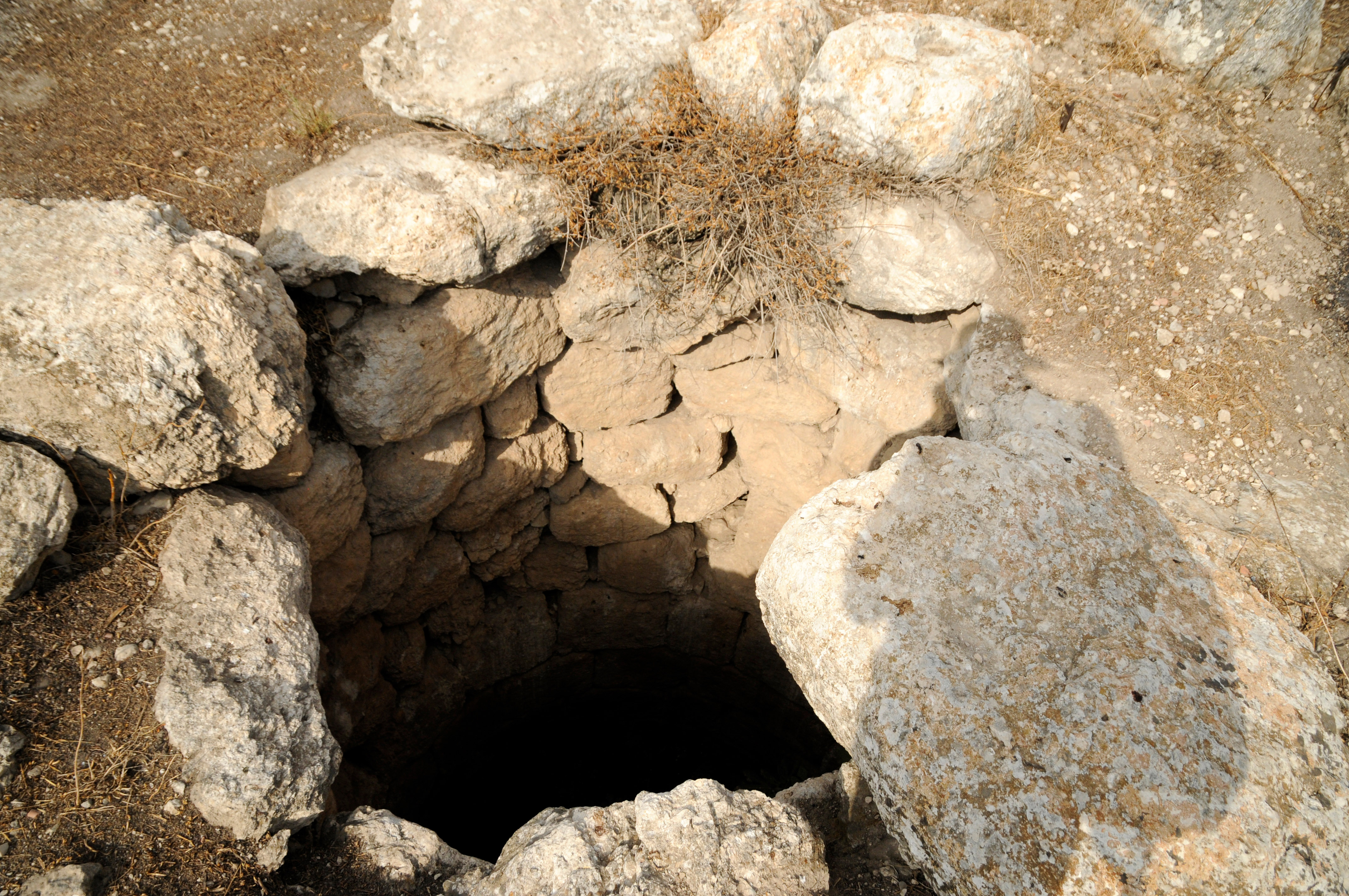
The Hebrew University team excavated Qeiyafa’s second gate in Area C. The eastern portion of the gate was well preserved, together with several casemate rooms. It has been suggested by director Dr. Yosef Garfinkel that this second gate may be evidence for the identification of the site with biblical Sha’arayim (1 Sam. 17:52), Hebrew for “two gates.” If this conclusion is correct, Khirbet Qeiyafa was a major fortified garrison built during the time of Saul or David adjacent to the valley of Elah, where the Bible places the famous battle between David and Goliath. There is no question that the massive fortifications of this city required centralized organization and supervision. This represents a major argument against the objection by some scholars that David’s kingdom was nothing more than a minor regional chiefdom. Moreover, the discovery of the earliest Hebrew inscription and its location in this border area confirms that literacy extended to the outskirts of Judah.
KHIRBET QEIYAFA 2009 SEASON DIARY
Hazor (Israel) June 18 - August 5, 2007

Hazor (Israel) June 18 - August 3, 2005

Hazor (Israel) June 21 - August 3, 2004

Idalion (Cyprus) June 18 - August 10, 2003

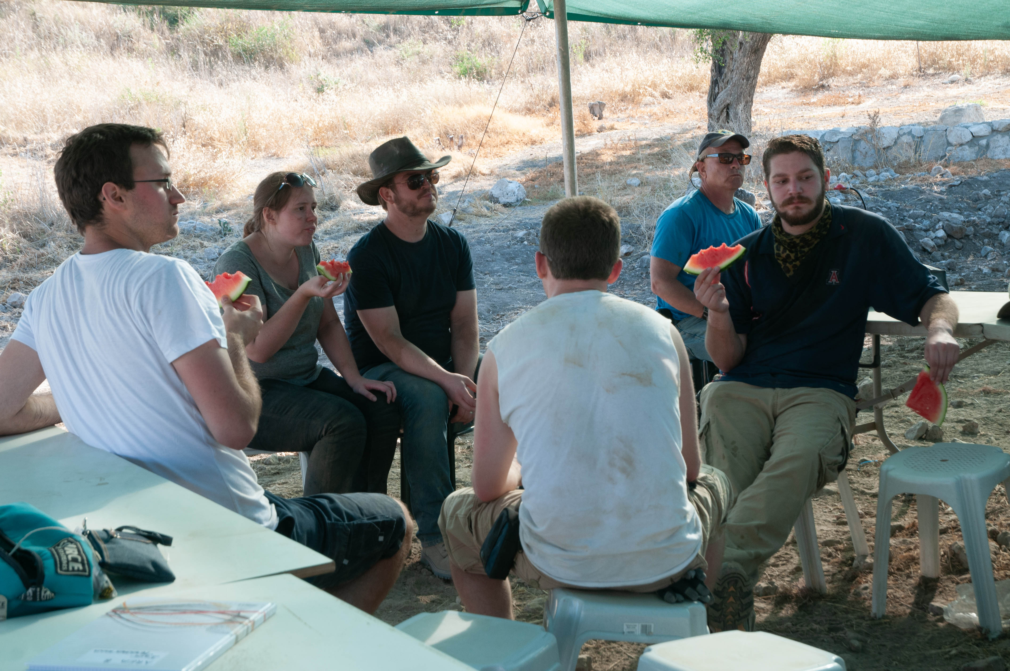
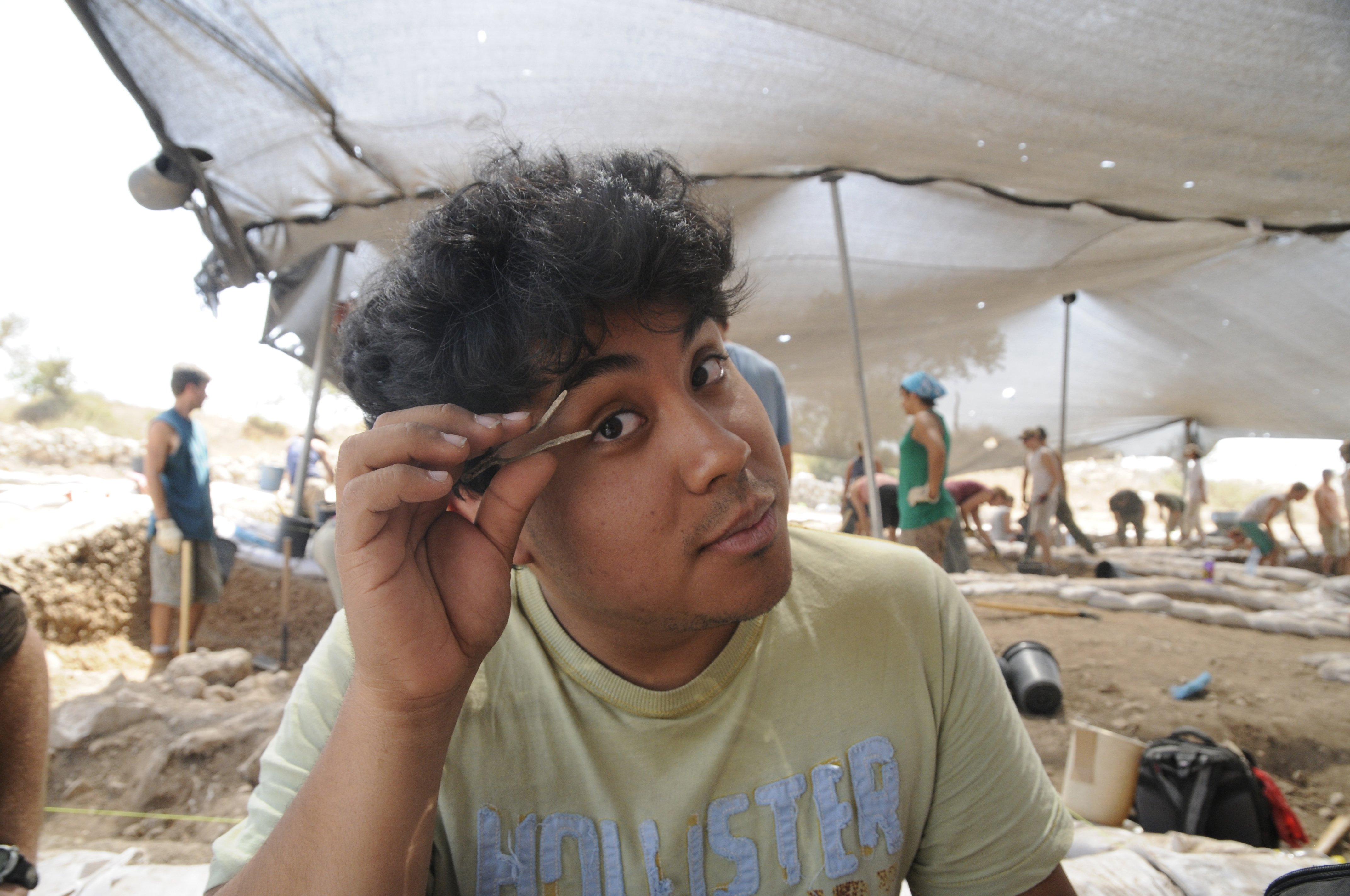
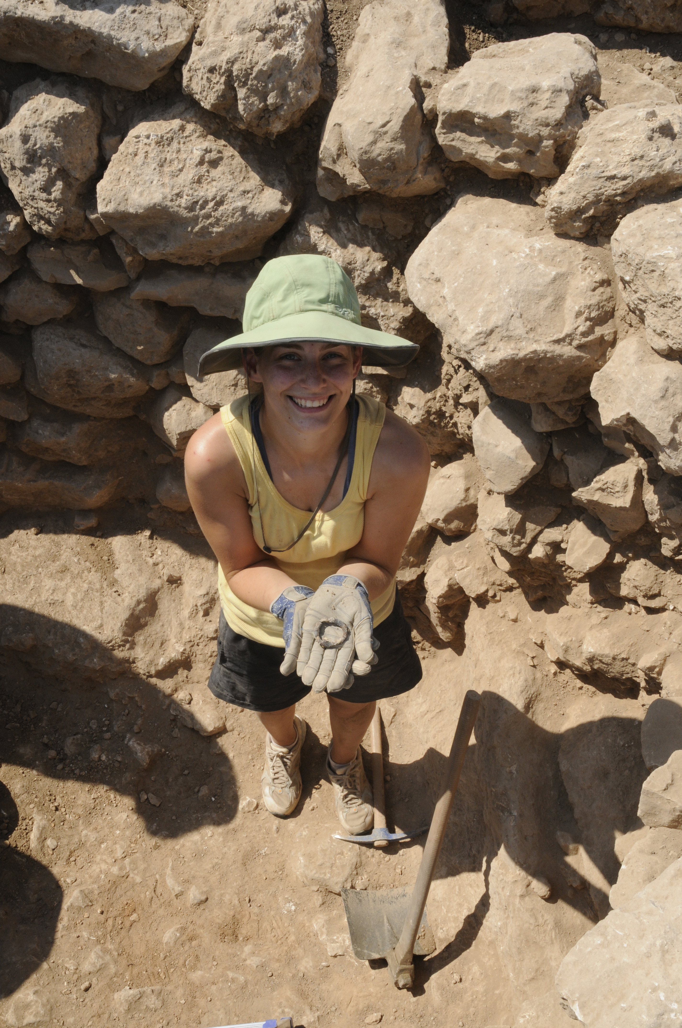
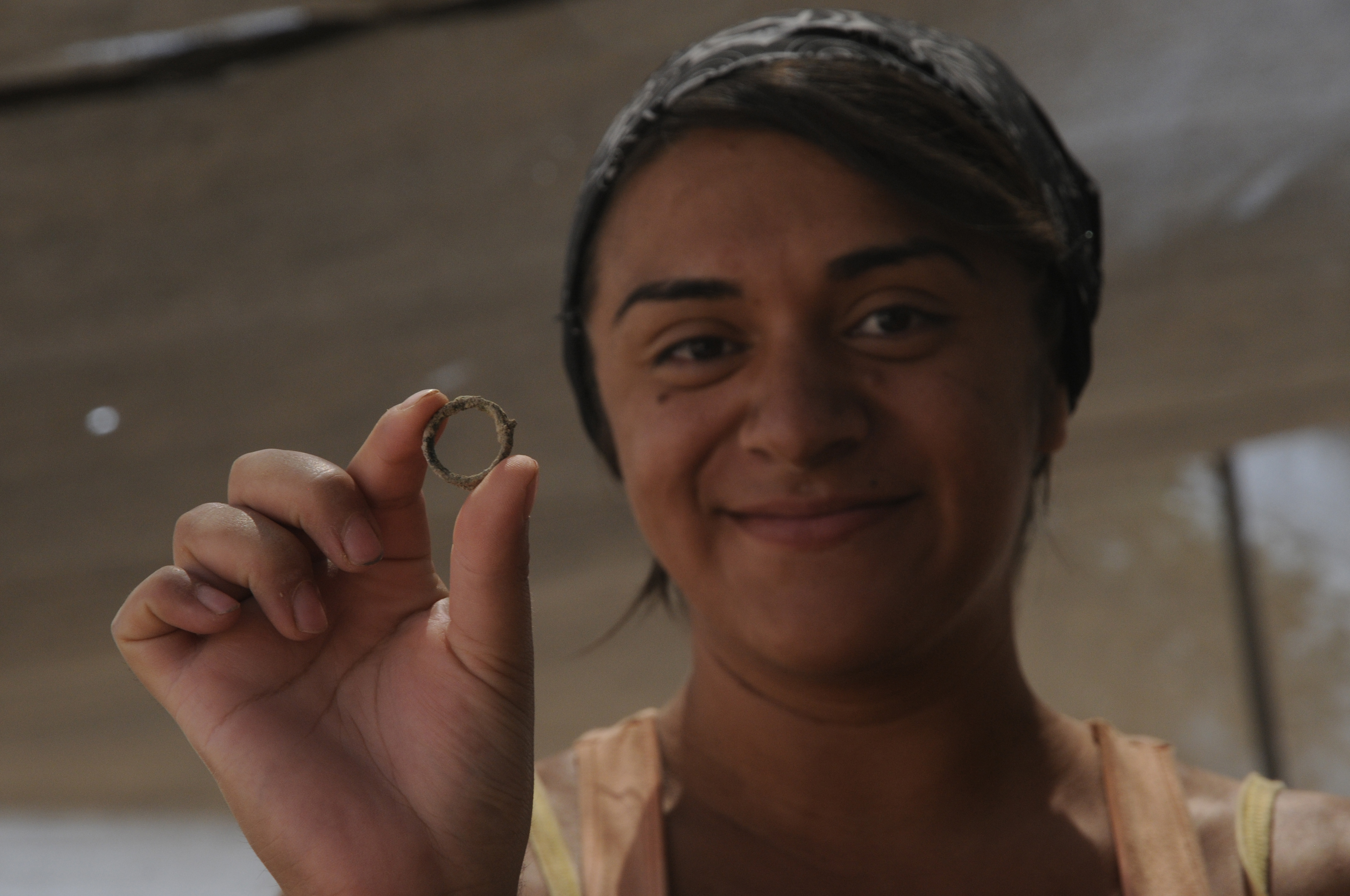
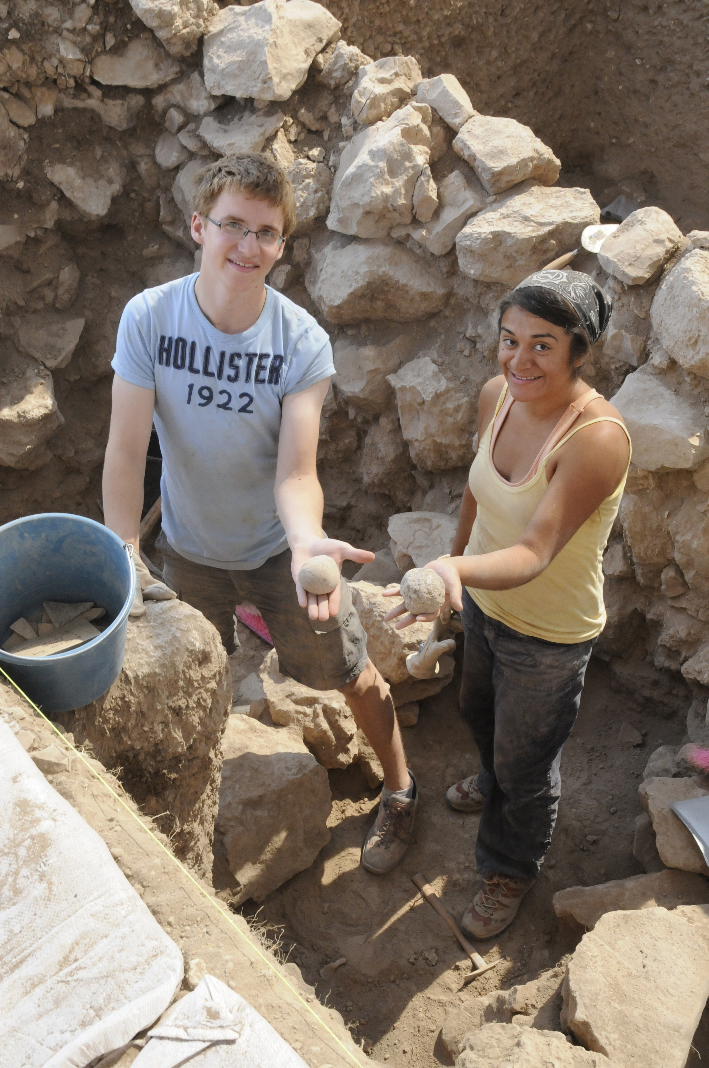
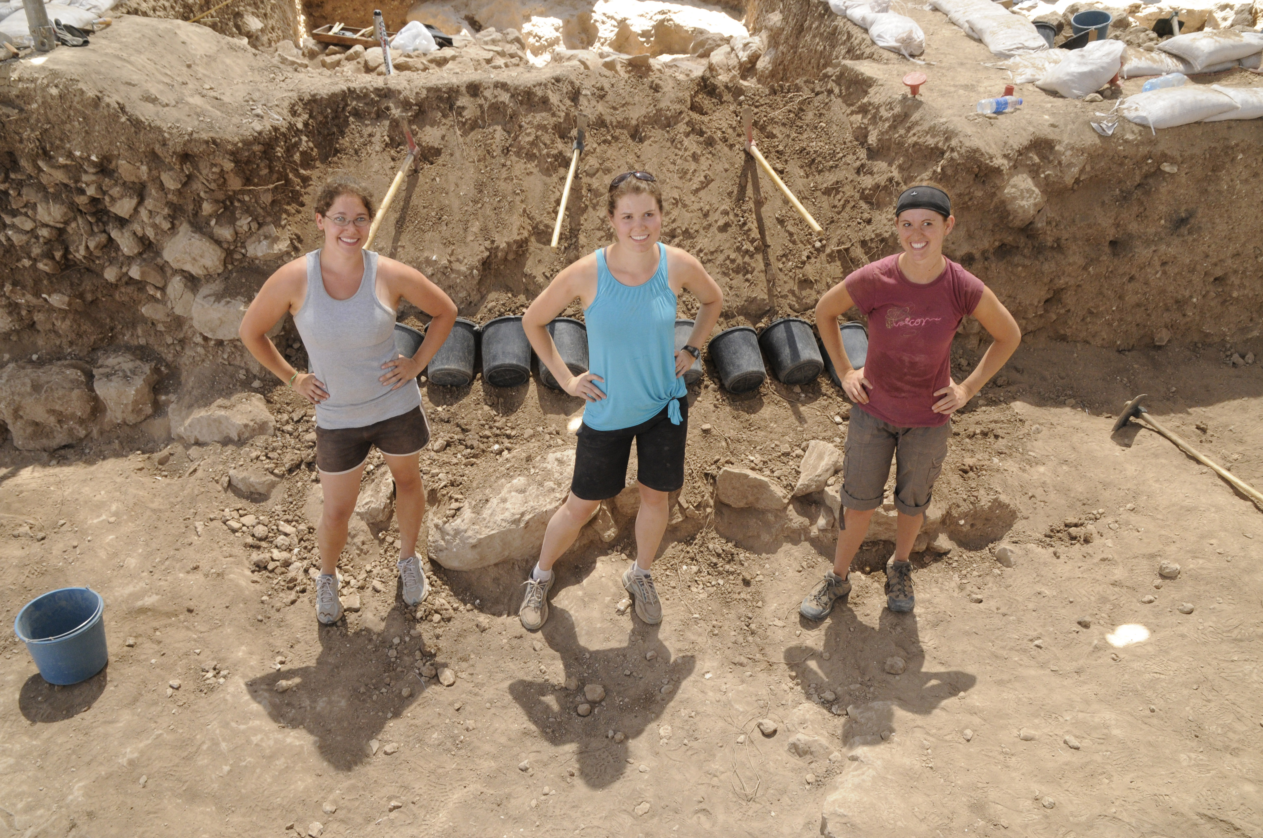
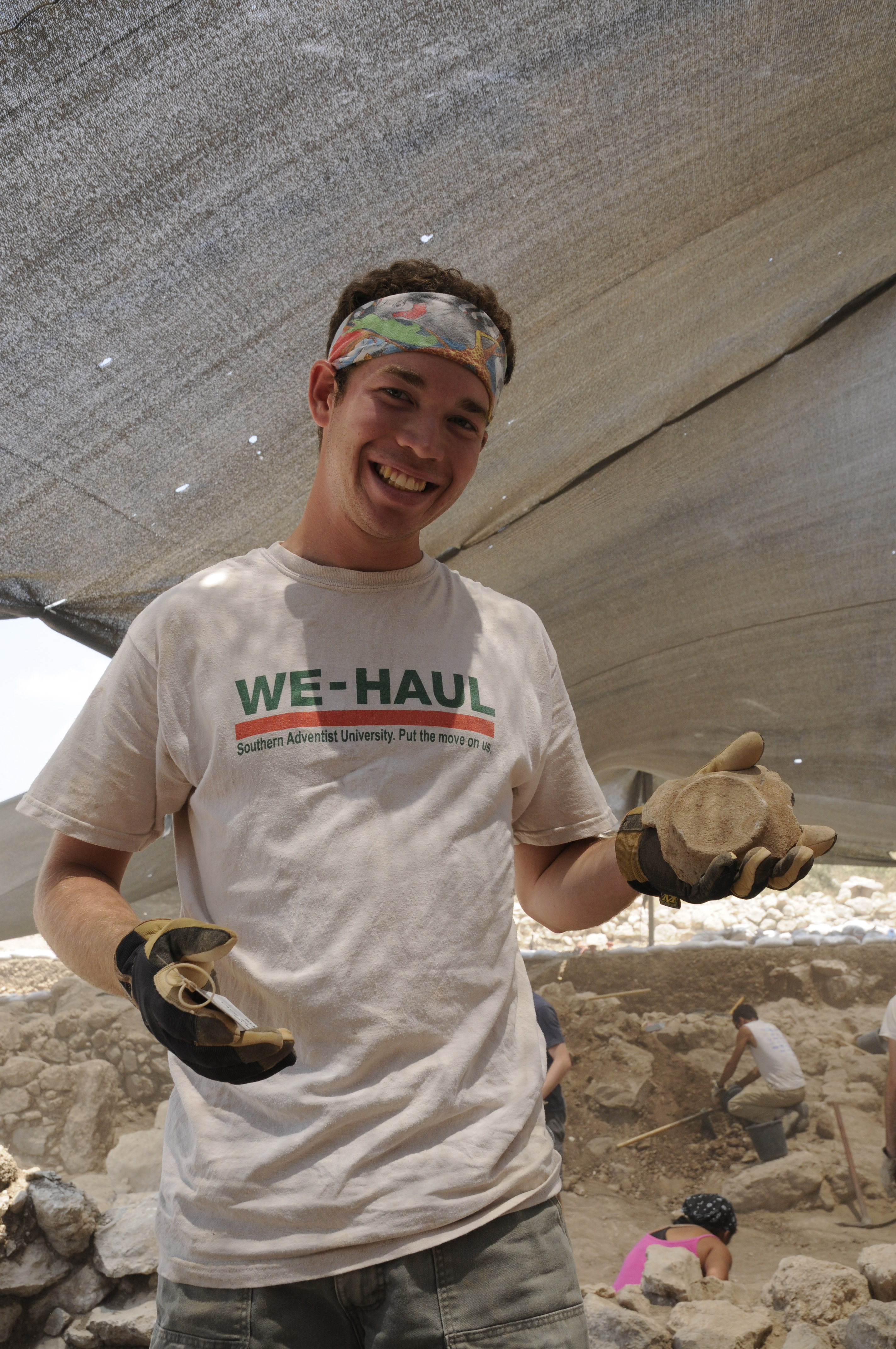
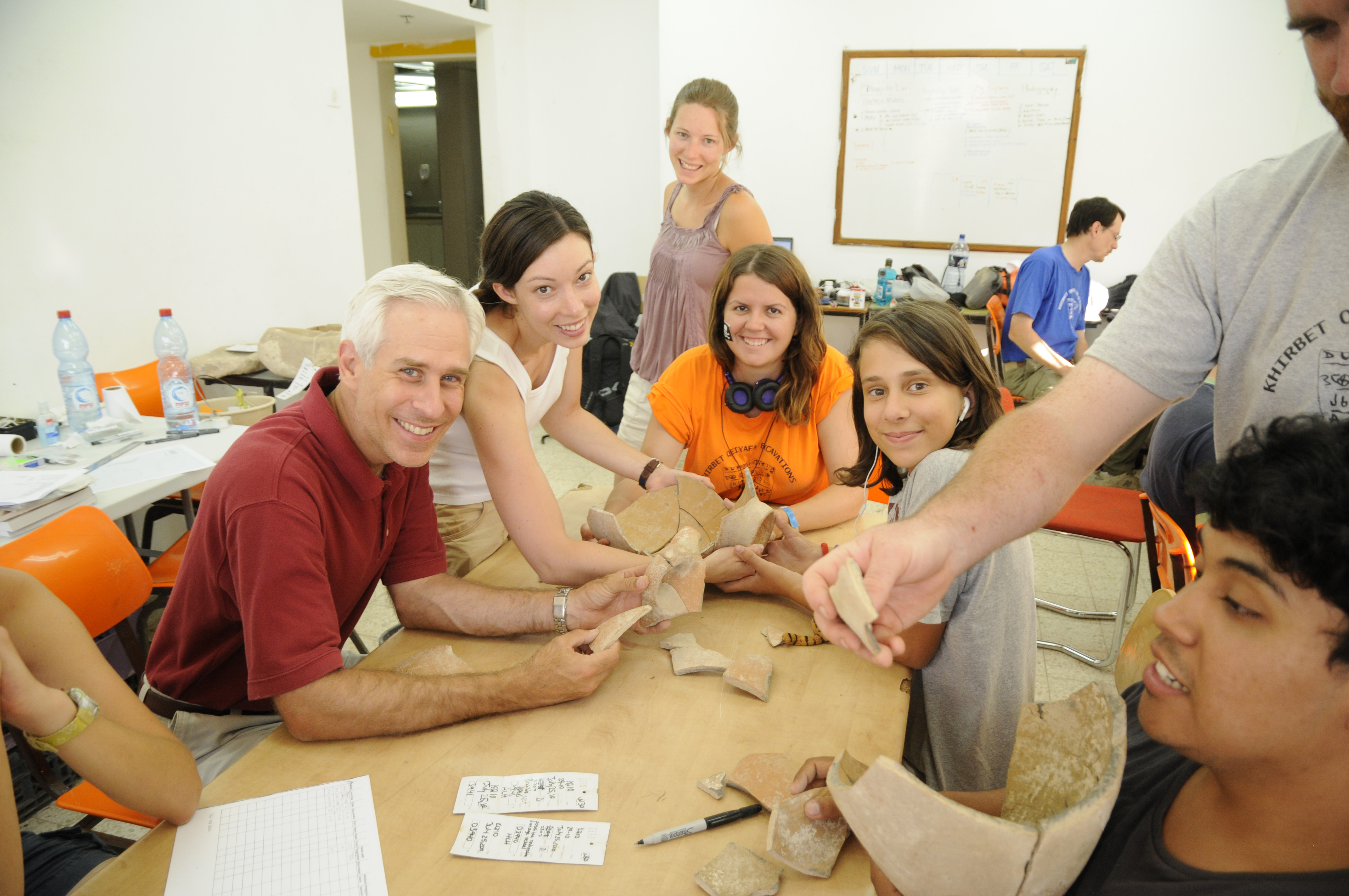
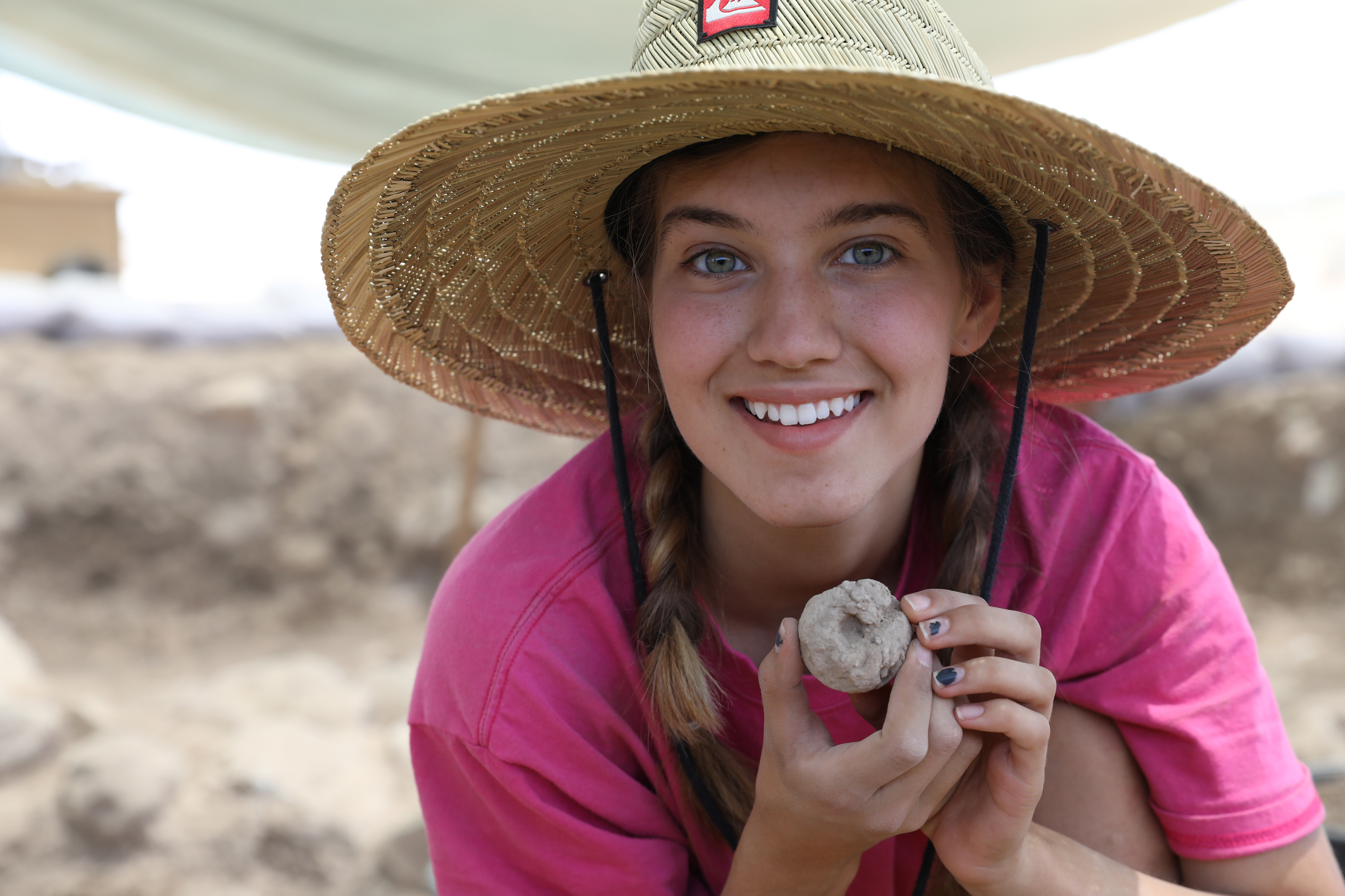
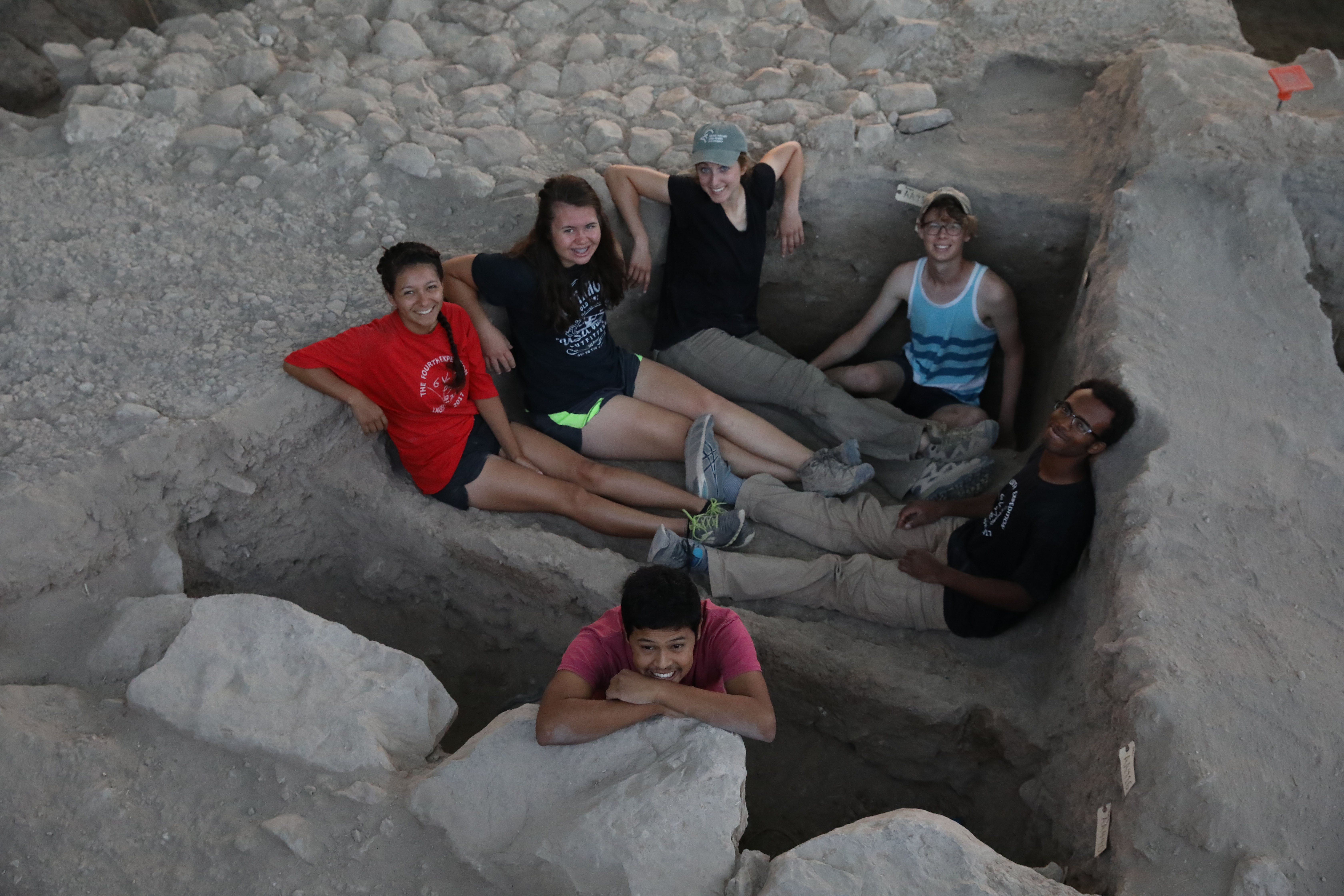
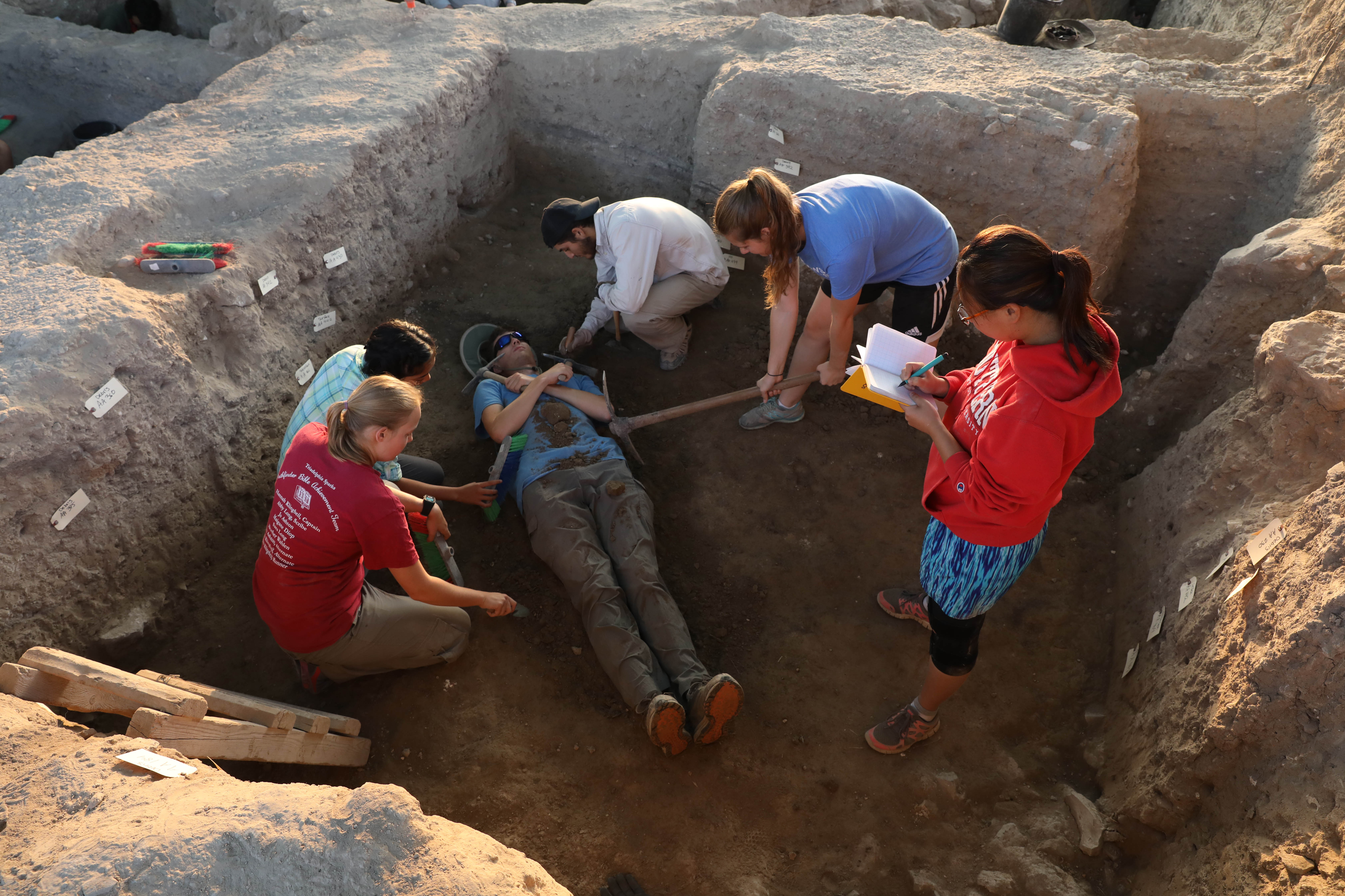
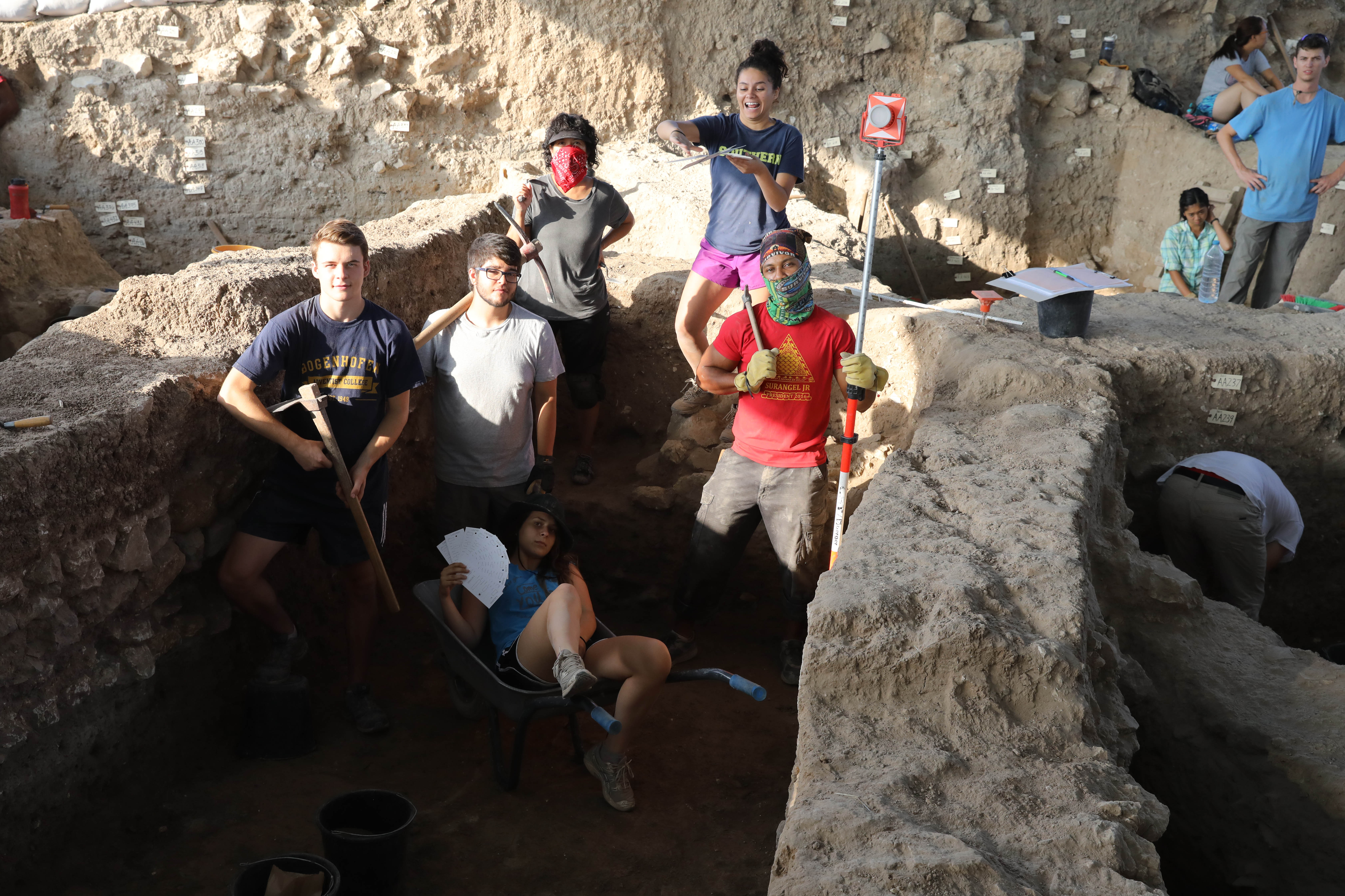
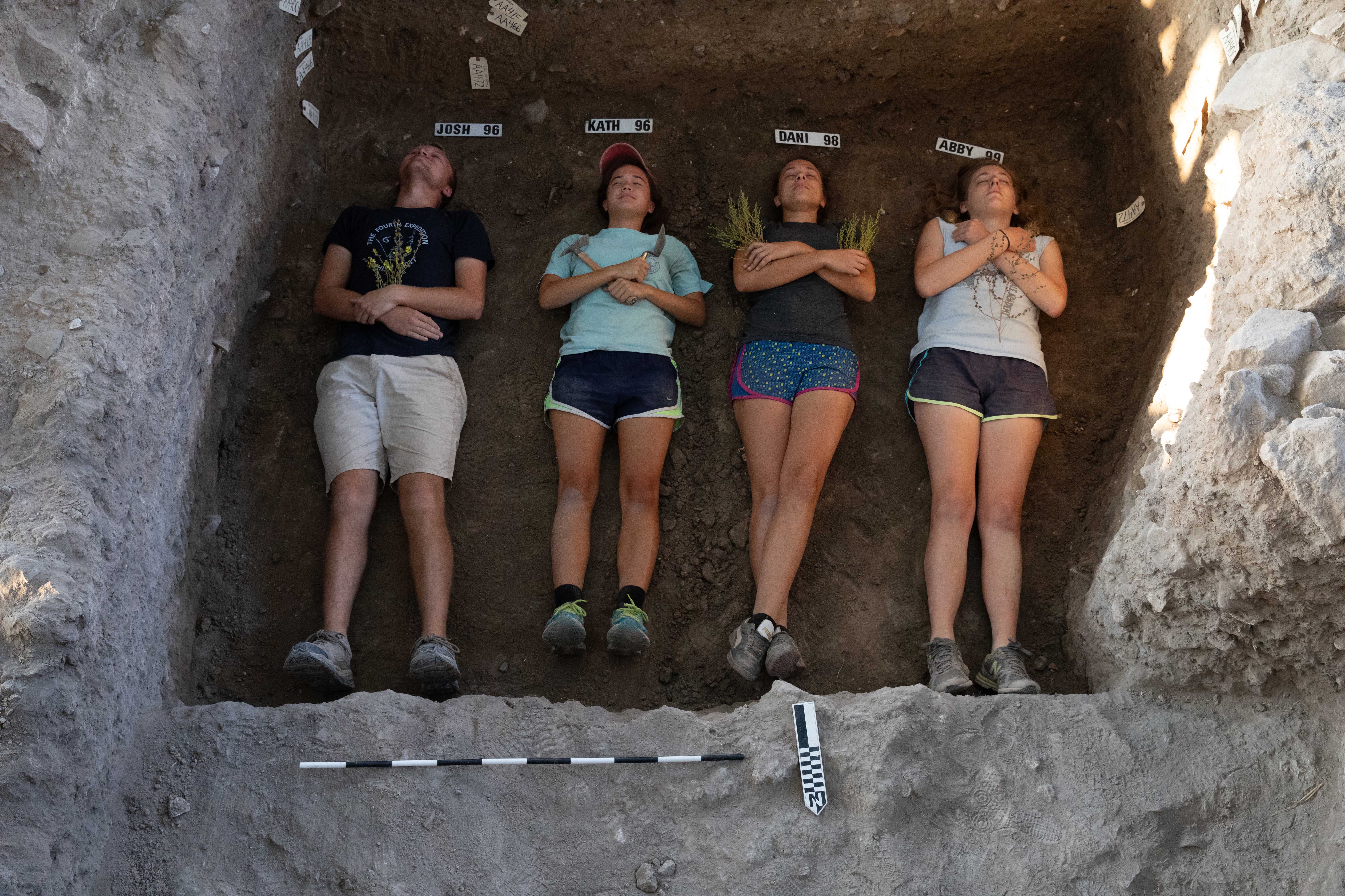
Fun Dig Sight Photos

Contact
Hackman Hall
RM 121